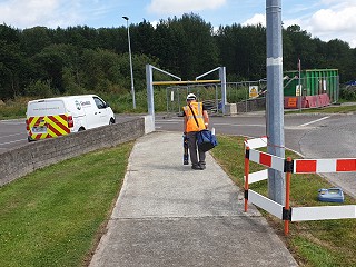
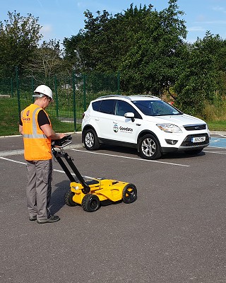
Our teams of experienced Utility Mapping Surveyors from GeoData are skilled in carrying out underground Utility Mapping Surveys using varies techniques such as Ground Penetration Radar (GPR) and electromagnetic (EM) devices.
Equipped with the latest detection technology to locate underground utilities using electromagnetic (EM) with RD 8000s, Ground Penetrating Radar (GPR) and also CCTV surveys. Our survey data can be delivered in a variety of format in accordance to PAS128 standard.