GeoData Surveying is a company of Chartered Land Surveyors based in Cork and has built a reputation of delivering high quality professional service since 2006 and is regulated at all times by RICS standards and underpinned by strong ethical standards.
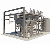
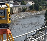
We have invested heavily in the latest technologies in surveying equipment such as Global Positioning Systems (GPS), robotic total stations and Terrestrial Laser scanners, combined this with 3D Modelling and processing software and a wealth of survey expertise and experience allows us to provide a comprehensive and consistent surveying service.

Meet the Director — Kieran O’Brien
BEng(Hons) CEng MIEI MRICS/MSCSI
Kieran Graduated from Edinburgh University with first class honours in a Bachelors Degree in Civil Engineering. He is a Chartered Civil Engineer with Engineers Ireland and also a Chartered Geomatics Surveyor with the Royal Institute of Chartered Surveyors and Society of Chartered Surveyors of Ireland.
Prior to GeoData Surveying he worked with a number of leading international Construction companies in Ireland and the UK, gaining a wealth of valuable experience and an insight into the building process leading to a better understanding of clients requirement.
Kieran has held a position of Managing Director with GeoData Surveying since 2006, in this role he has gained experience in business development, marketing and strategy along with managing surveying projects ranging from small private sector survey to large public works contracts.